Location: Peak Range National Park
Article: Written by Jo Hurford; Imagery by Jo Hurford
Directions: Access is via the Peak Downs Highway (-22.548541, 147.834245)
Not that I need an excuse to travel, hike and explore, but with the initial founder of Townsville Hike and Explore now living in Clermont, this was the perfect opportunity to explore Central Queensland, a region I had only ever passed through.
Part of Peak Range National Park, this distinctive extinct volcano can be spotted on the drive from Mackay into Clermont.
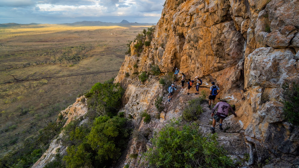
A group of eleven shimmied along ridges, crawled up rocky slopes and heaved themselves through cracks to reach the summit at 572 metres. We were greeted with 360 degree views across the surrounding landscape.
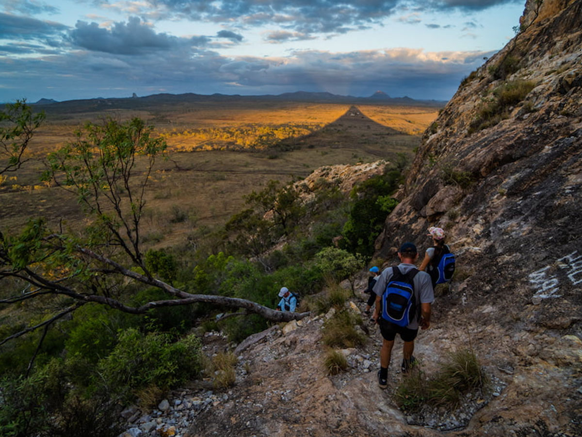
Hiking close to sunset saturated the rock in reds, the landscape in golds, and cast the shadow of Wolfang ahead of us. The photo I captured of this, is my favourite from the weekend explorations.
Tip: Keep an eye out for koalas. While we didn’t see any, some had been spotted the previous week in trees at the base of Wolfang.
Total distance: approximately 3.5km return. Total ascent: roughly 197 metres.
I didn’t know what to expect from Central Queensland. Each of these hikes were very different and offered new perspectives and views across the region. They all contained one thing I love most in hiking, rock scrambling. Definitely looking forward to returning once the weather cools again and exploring more of the peaks in the region.