Mount Mackay is situated in the Mount Mackay National Park to the east of the township of Tully, some 208 kilometres north of Townsville. This impressive peak rises 724 metres above sea level and is clearly visible on the eastern side of the Bruce Highway while travelling through Tully in either direction, The base of Mount Mackay is surrounded by Cane farms and private property.
Mount Mackay is known as the ‘mountain that impedes views of Dunk Island from the commonly hiked Mount Tyson (674m), 7.5 kilometres to the east.
The summit of Mount Mackay houses a communications tower and other equipment, although there is no road or trail to the summit. Maintenance visits to the tower appear to be achieved by helicopter.
Locals were astounded we were making an attempt to conquer Mount Mackay and we were reliably informed that to their knowledge, no one had attempted this feat in recent times.
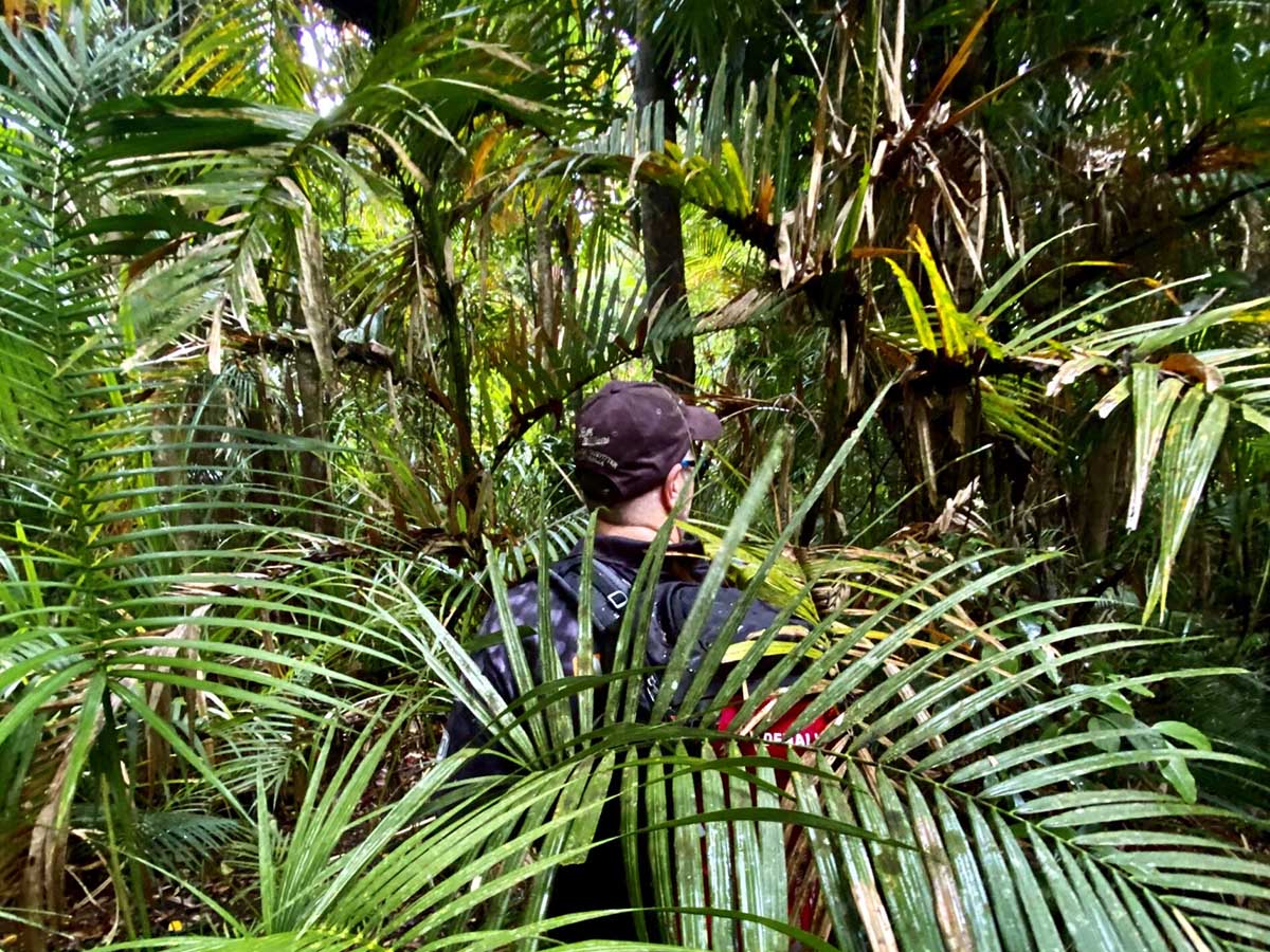
Leaving early from near Tully at the base of Mount Mackay, the weather forecast wasn’t looking favorable and we were immediately met by dense rainforest terrain and an encounter with our old friend the “Gympie Gympie” (Dendrocnide moroides) within the first ten minutes! Just my luck to brush against the only stinging tree we saw for the day!
We cut our way through the lowlands until we found the ridgeline we planned to hike for the day. This ridgeline was the pick of the bunch on the southern side of the mountain and aerial imagery appeared to show what appeared to be massive sections of coral fern (Gleichenia dicarpa) close to the summit, however the ridgeline was extremely narrow and steep in places at high elevation.
During breaks in the cloud, we were treated to views of Dunk Island and the lowlands to the south and east of Mount Mackay. Along the coastal plain, we could clearly make out the townships of Hull Heads, Tully Heads and South Mission Beach to name a a few. The Tully and Murray River systems to the south were also visible – these were some of the most unique and beautiful views we’ve seen in this neck of the woods!
We navigated this ridgeline for many hours which in places was near impassible due to how steep, narrow and overgrown it was. Of note was thick sections of chest height, razor sharp Pandanus (Pandanus Baptistii) which made the going even tougher!
There is huge sections of cyclone damaged terrain close to the summit where the canopy has all but disappeared, causing vine and other growth to appear up to ten foot high, and in places, 150 metres long.
As we closed in on the summit, the heavens opened and a tropical storm settled in directly above. We were pounded by heavy rain at over 600 metres elevation which turned the narrow ridgeline to mud underfoot and made pushing our way through 10 foot high sections of vine and growth a mammoth task. We did however come across impressive sections of coral fern along the ridgeline, much to our delight.
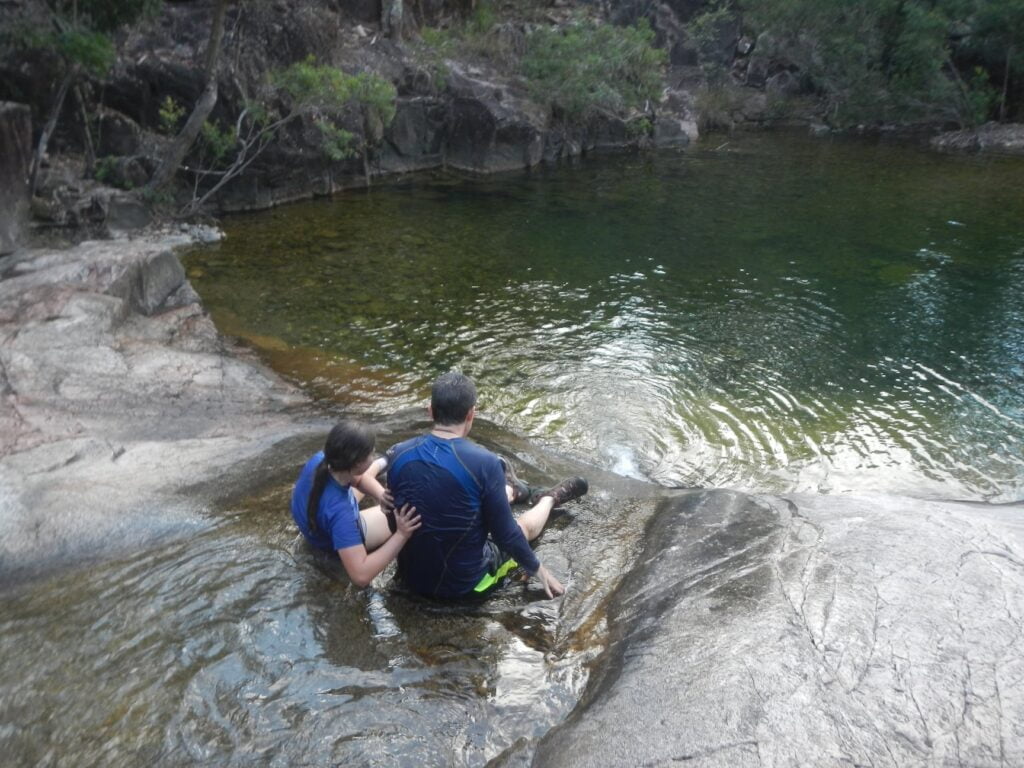
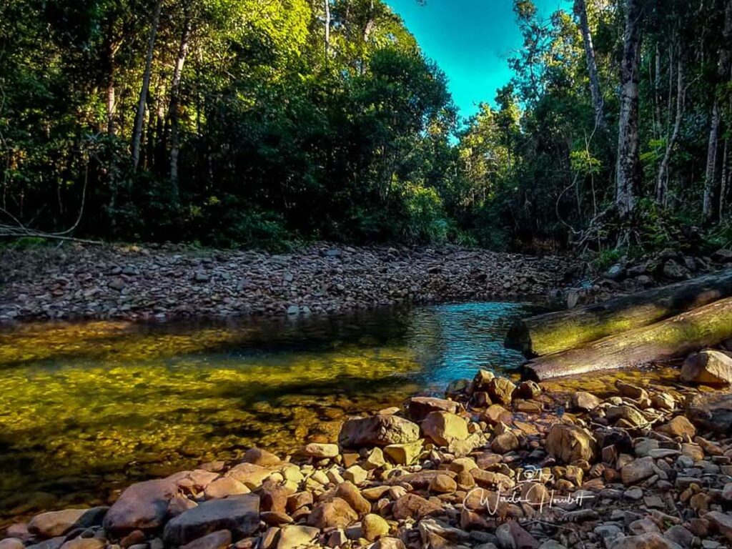
After erring on the side of safety and making the call to leave the summit for another day, we took a detour away from the ridgeline and explored the headwaters of a couple of the rainforest creek lines close to the summit – this was a tiring, but remarkable experience.
By the time we reached the bottom of Mount Mackay, the rain had eased and we looked back to see the summit immersed in low cloud – an impressive sight to say the least!