Location: Eungella National Park
Article: Written by Michael Pugh; Imagery by Michael Pugh
Located in the Clarke Range north west of Mackay, Mount Dalrymple is the highest mountain in Central Queensland, at 1258 metres above sea level.
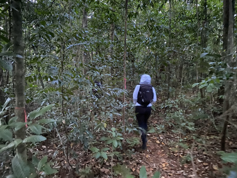
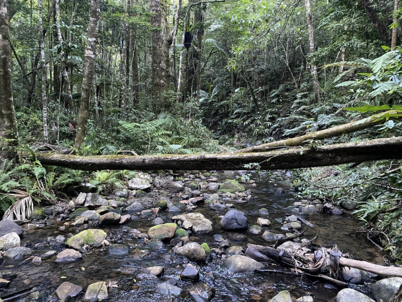
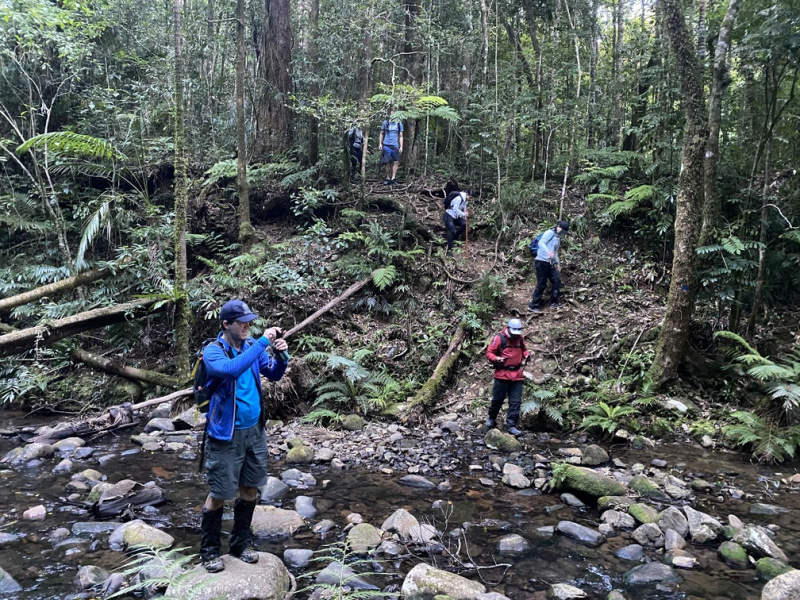
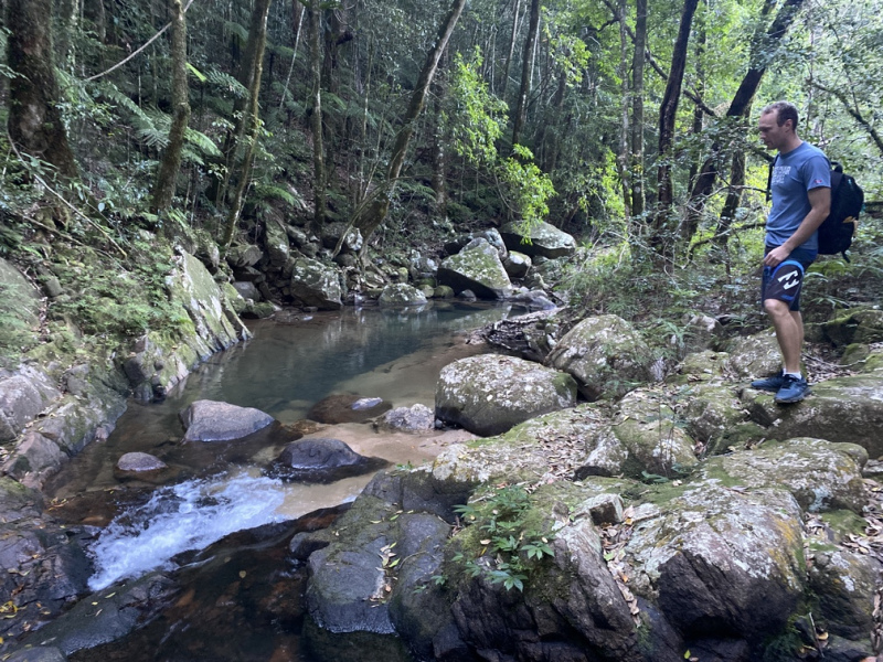
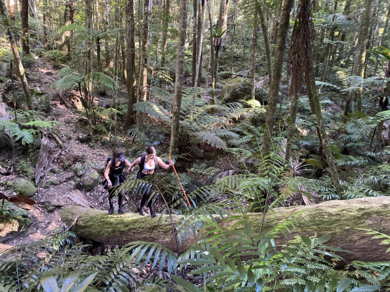
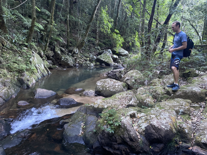
The summit can be attained by hiking one of two trails – the western approach or Finch Hatton trails. Both trails are similar distances of roughly 16 kilometres return. There are numerous deep creek crossings and steep sections of trail which should not be attempted after heavy rain.
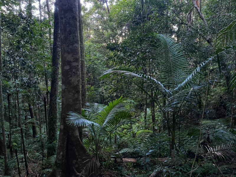
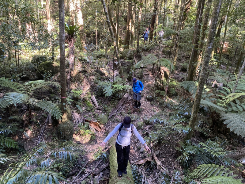
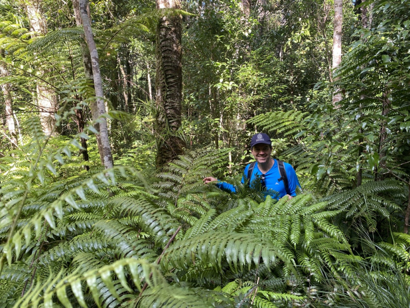
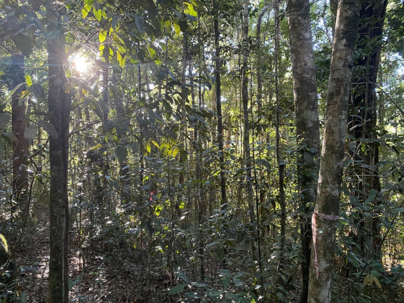
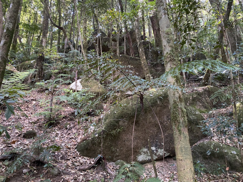
The hike will take you through thick rainforest terrain, typical of this elevation. Many who have hiked Mount Dalrymple and Queenslands highest peak, Mount Bartle Frere, claim the conditions, terrain and trail are similar, although there is much less elevation gain hiking Mount Dalrymple compared to Bartle Frere.
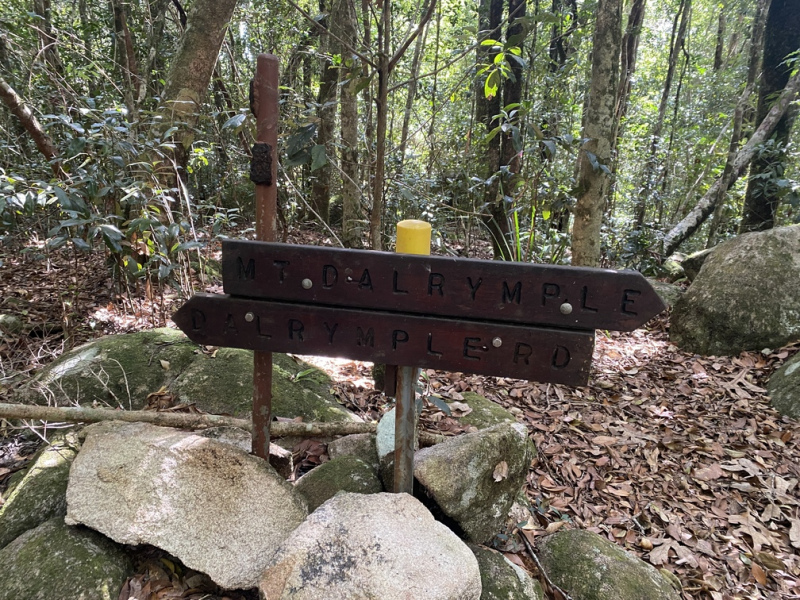
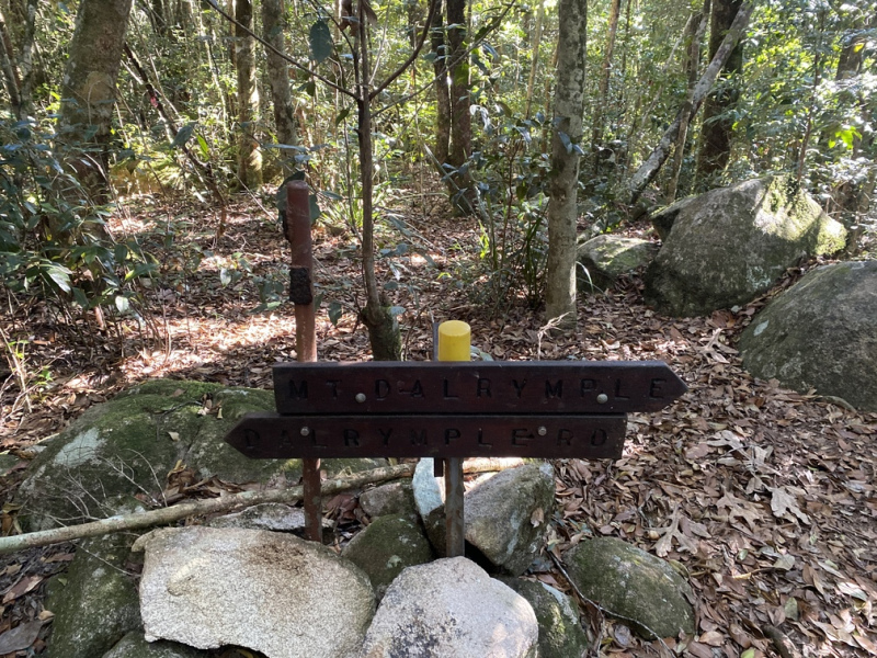
The bonus about hiking Mount Dalrymple is one can also hike the lesser known Mount David. The trail junction to Mount David is roughly 2 kilometres from the summit of Mount Dalrymple on the western side and clearly marked with a wooden directional marker. Be careful though, the Mount David trail, while only one kilometre in distance, is not as clearly marked or maintained as the Mount Dalrymple Trail.
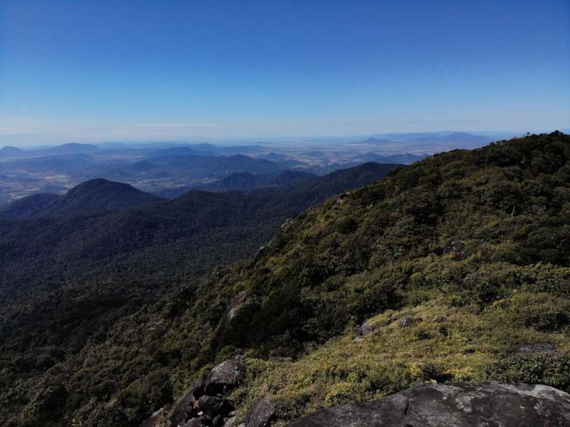
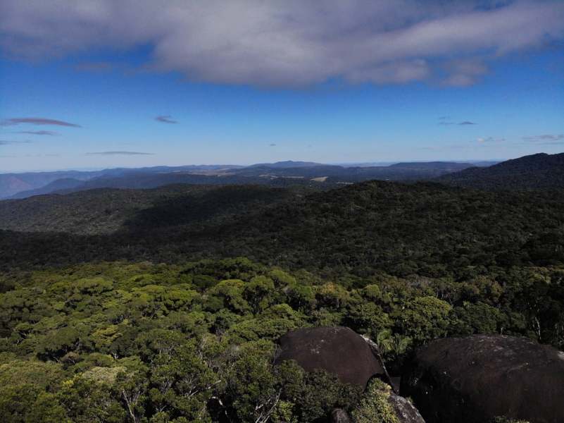
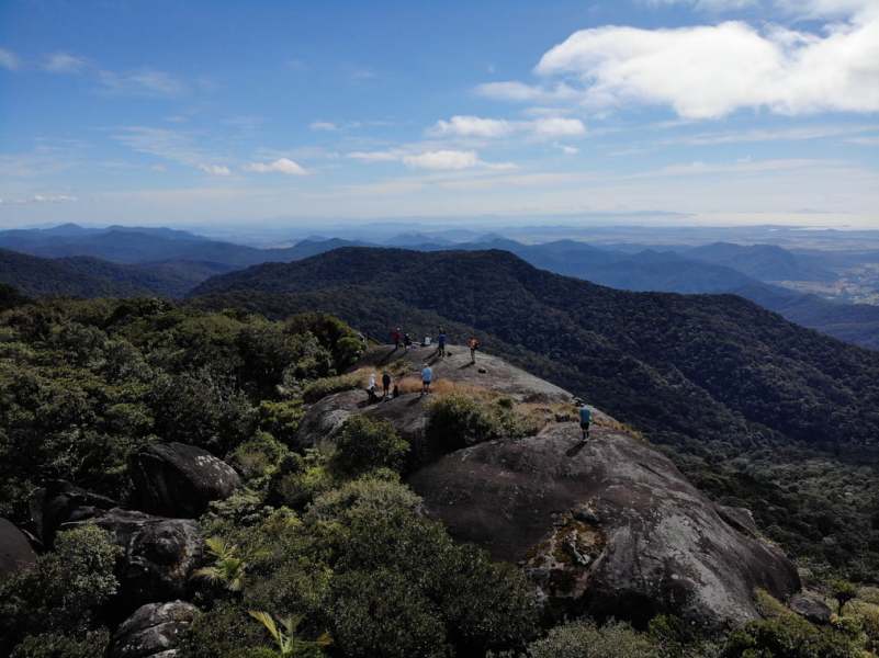
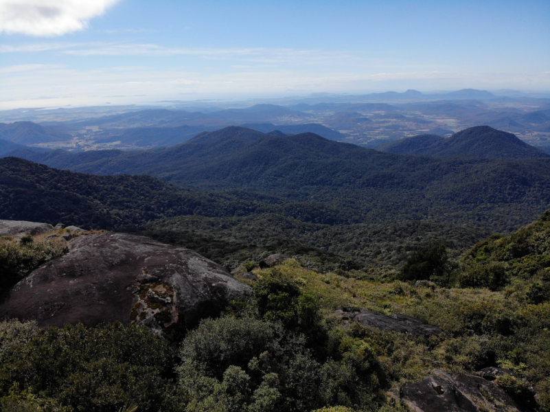
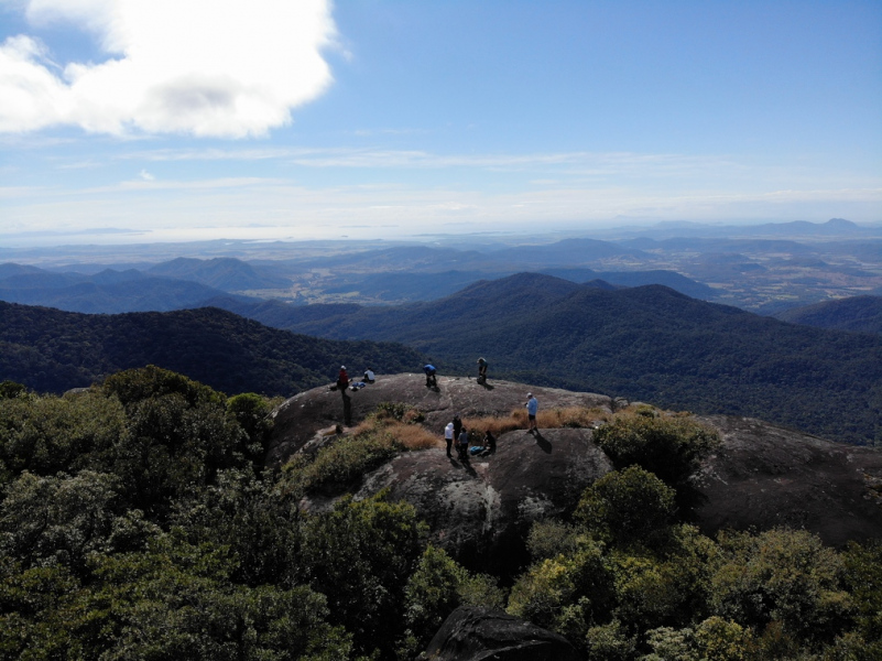
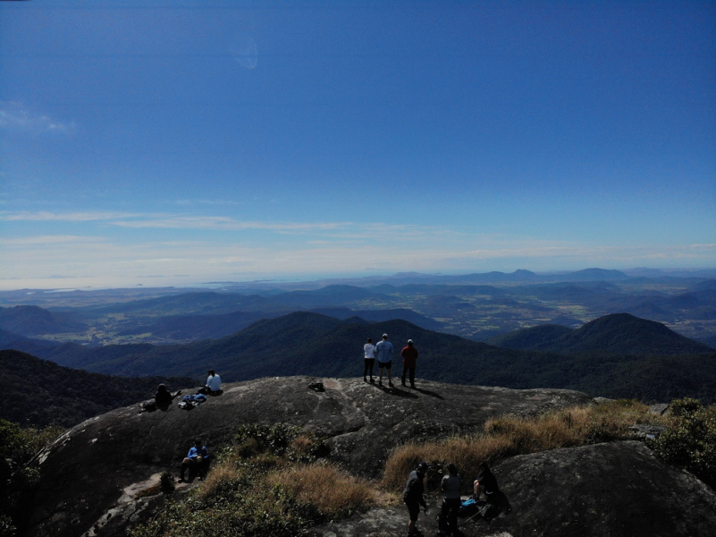
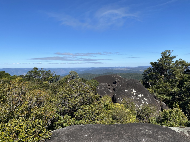
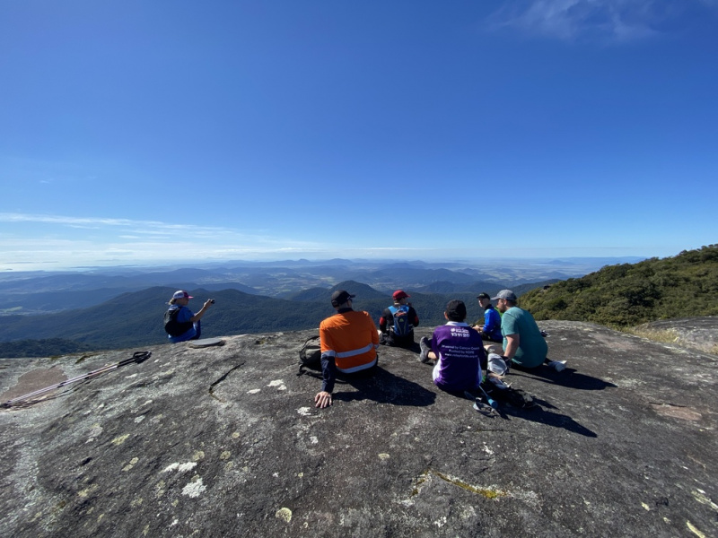
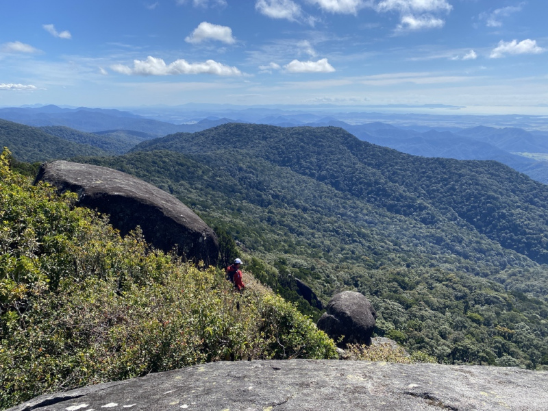
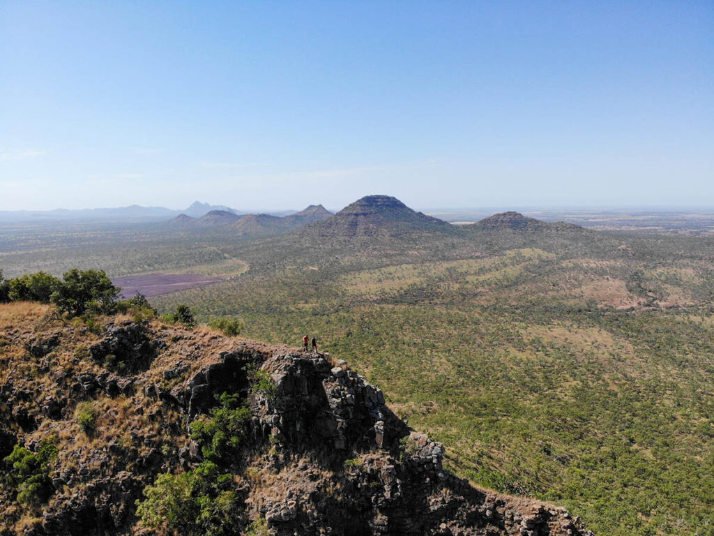
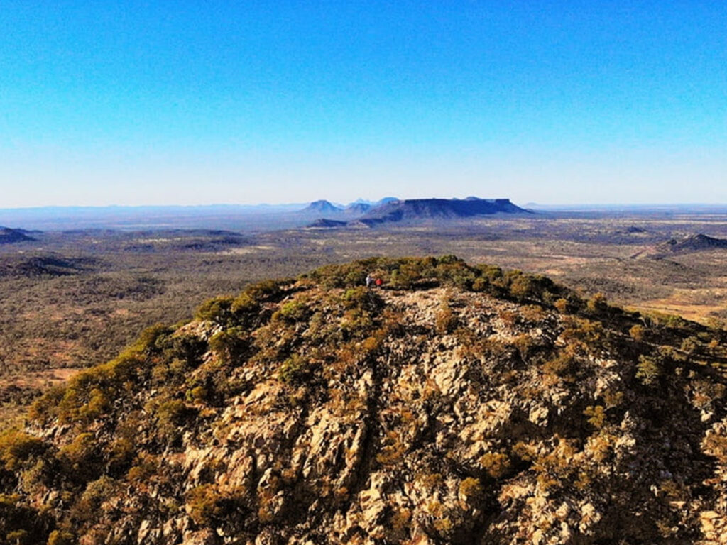
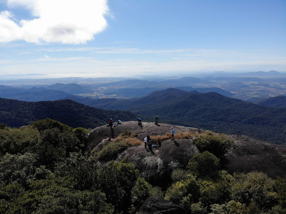
The summit of Mount Dalrymple is made up of numerous massive granite boulders and formations that can be easily accessed, although don’t get too close to the edge! The summit is often clouded in so keep an eye on the weather forecast prior to your adventure.
From the summit, you will experience close to 360 degree unimpeded views of the surrounding Eungella National Park and coastal plain north of Mackay. Visibility on a clear day can exceed 100 kilometres in all directions.
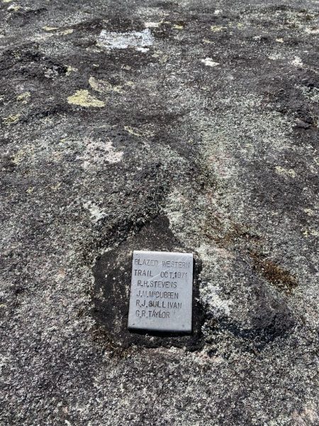
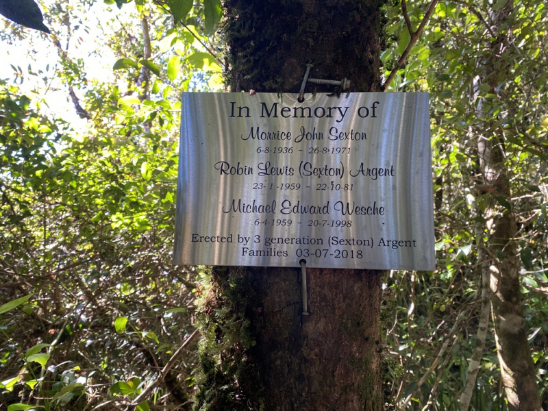
The Western Trail to Mount Dalrymple was blazed in October 1971. A plaque commemorating the efforts of those involved and an additional directional marker erected by the Mackay Bushwalking Club is visible at the summit, attached to one of the granite boulders. The Finch Hatton Trail is similar in distance to the western trail, although with additional elevation gain (770 metres vs 1070 metres)
How to get there
The Western Trail leaves from near the end of Dalrymple Road (-21.03519, 148.59637) in the Eungella National Park.
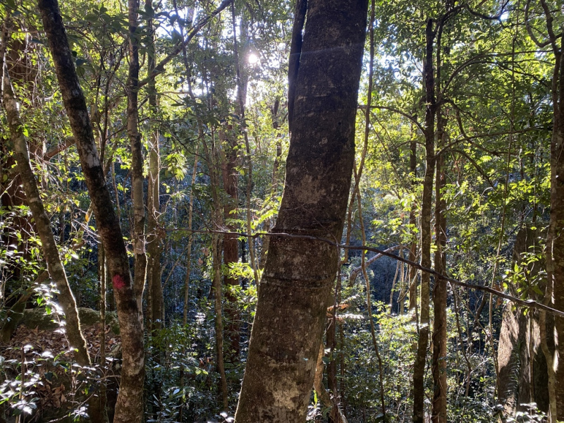
From Eungella, drive north on Dalrymple Road for approximately 30km until you see the trail head which is poorly marked by some pink taped trees on the eastern side of the road.
There is carparking available at the trail head, although don’t venture onto any of the private access roads close by.
The Finch Hatton Trail leaves from the end of Gorge Road (-21.06946, 148.63718) north of the township of Finch Hatton. There is car parking available at the trail head.
Interactive Map
Group Imagery & Video Slideshow