
Next time you’re driving south from Townsville and approaching Bowling Green National Park, keep an eye out for the little-known Mount Storth.
On the north eastern side of Bowling Green, Mount Storth, at roughly 640 metres elevation, is the first peak that comes into view on the right-hand side as you pass Killymoon Creek.
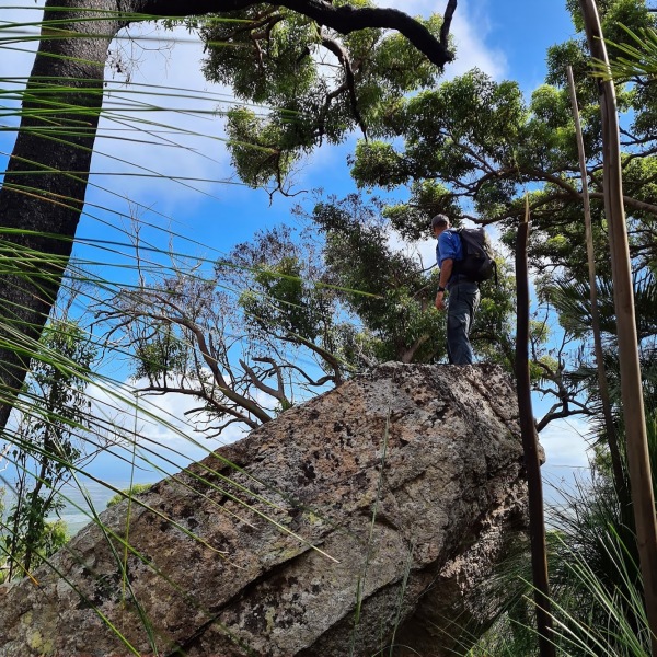
It’s easily visible by the massive cliffs and boulder formations close to the summit.
Summiting Mount Storth was an adventure with a little bit of everything. A selection of different terrains, abundant wildlife and of course the customary magnificent views we come to expect from most elevated peaks around the Townsville region.
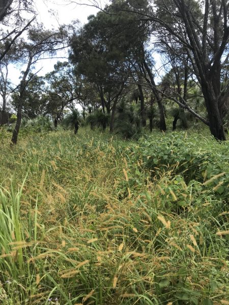
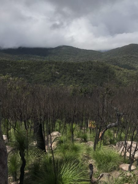
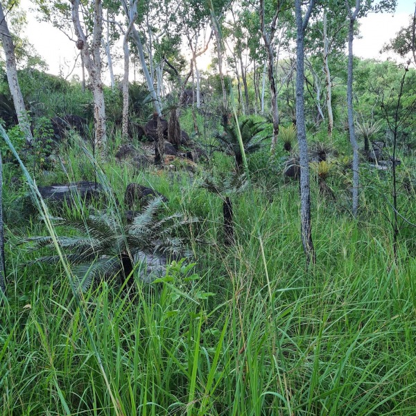
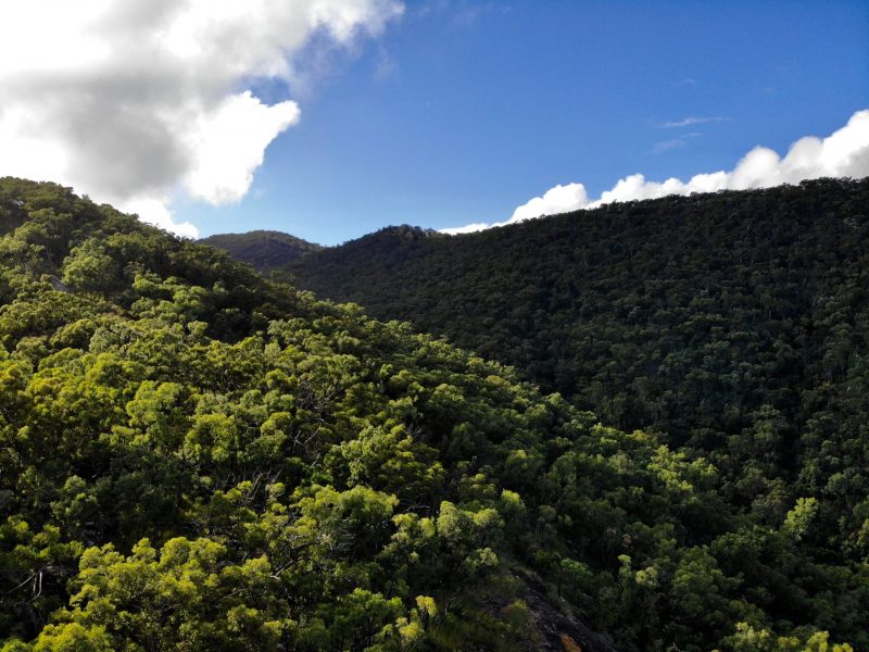
Fires have burnt the southern and western sides of the mountain in late 2019 and after recent summer rains, the vegetation regrowth although low, is thick and dense.
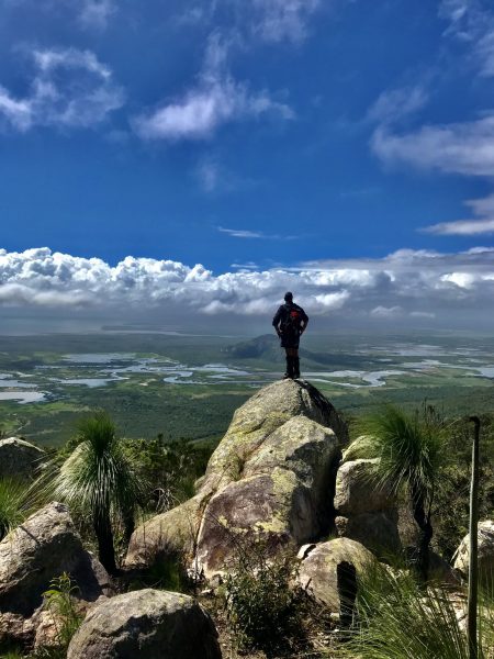
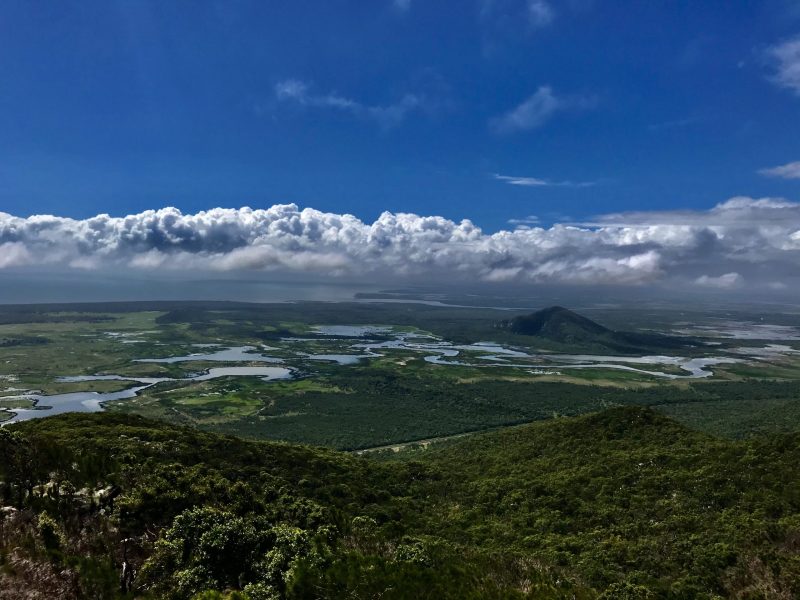
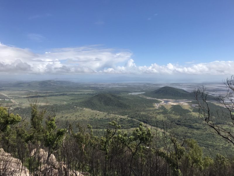
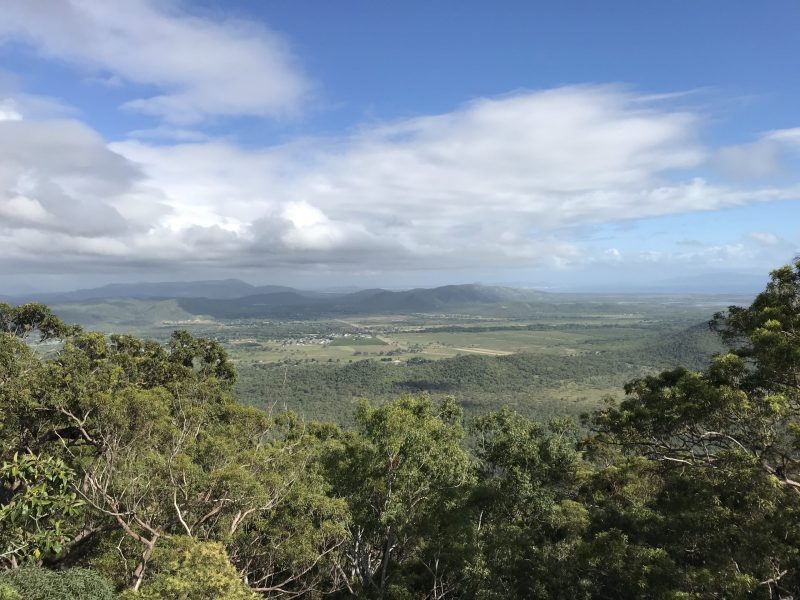
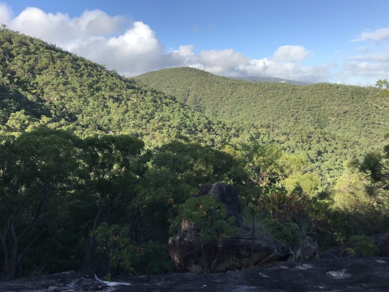
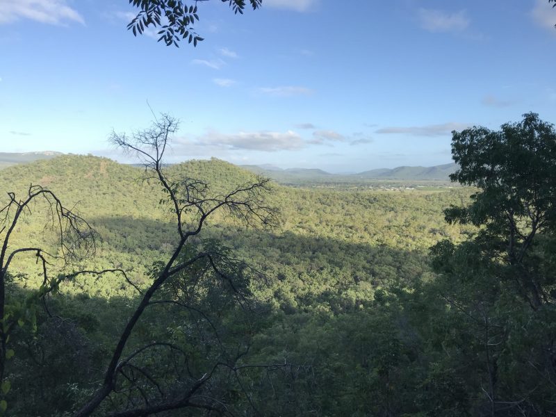
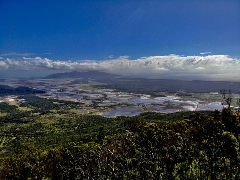
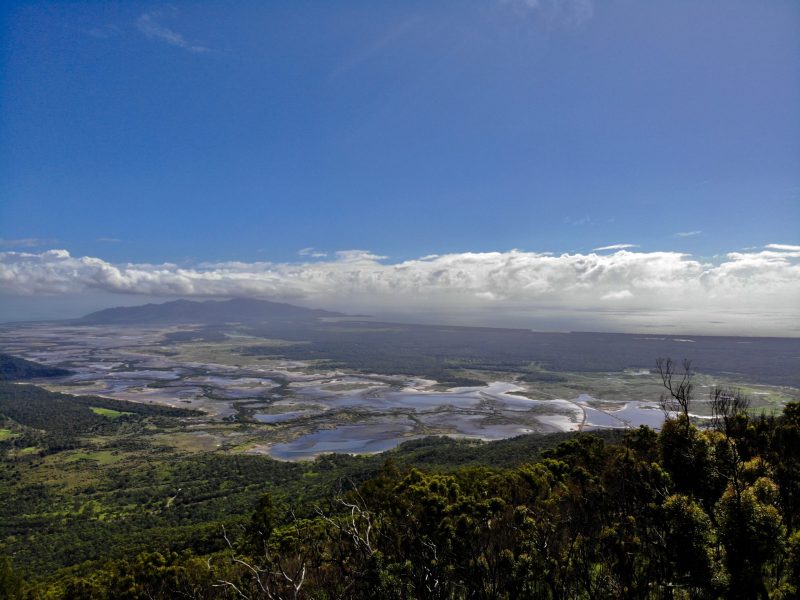
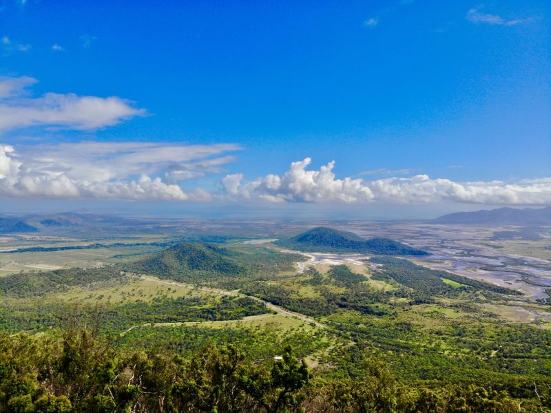
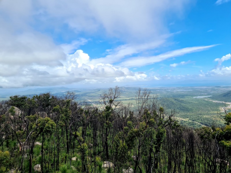
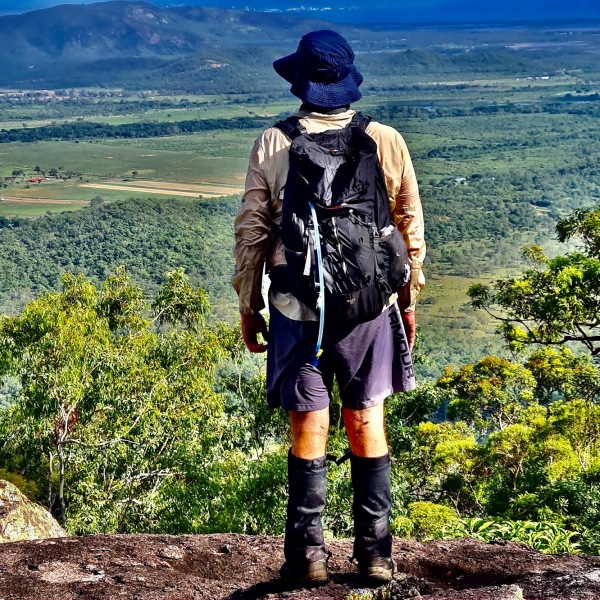
As we bush bashed our way up the western ridgeline, we gained elevation quickly and in no time, witnessed some spectacular views of Townsville and surrounds, Mount Stuart, Castle Hill, Cleveland Bay, a small section of the Ross River Dam and the adjacent sections of Bowling Green National Park.


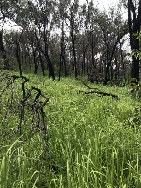
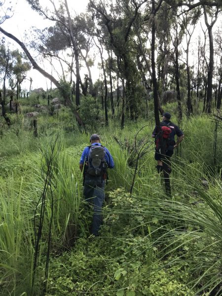
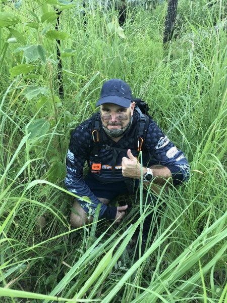
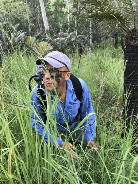
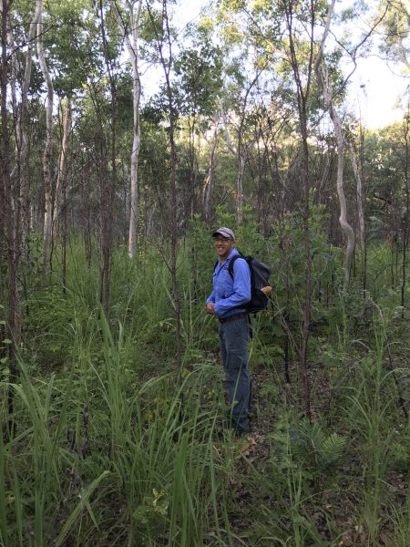
Honeybees were buzzing, although we couldn’t find a hive. Green ants were their usual annoying selves amongst the dense regrowth as we battled our way through this boulder filled landscape to the summit.
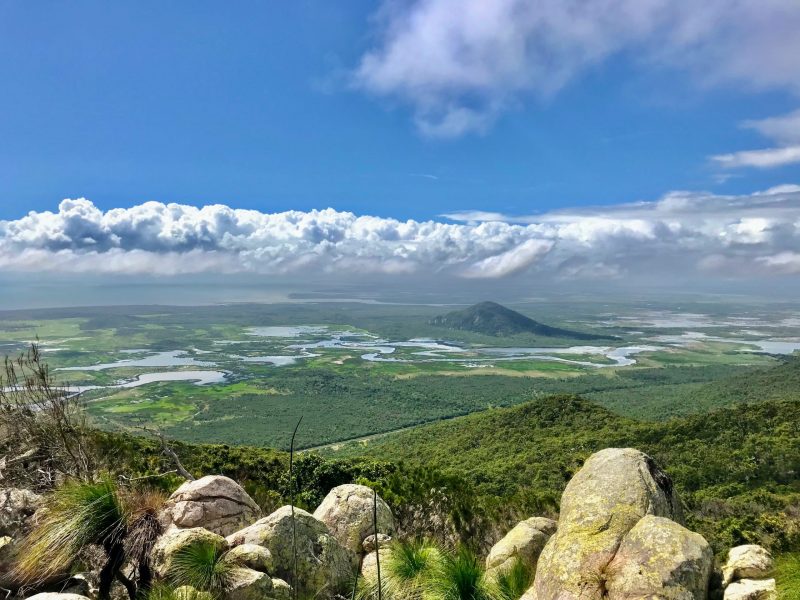
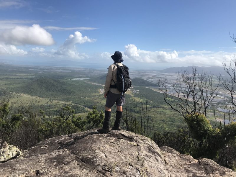
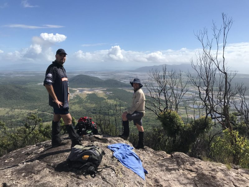
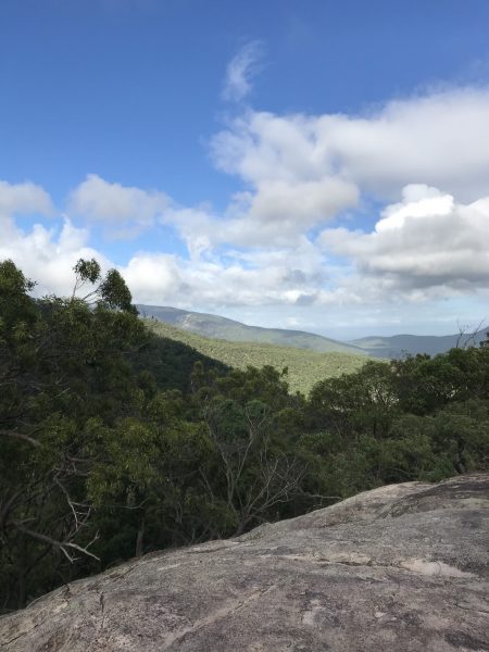
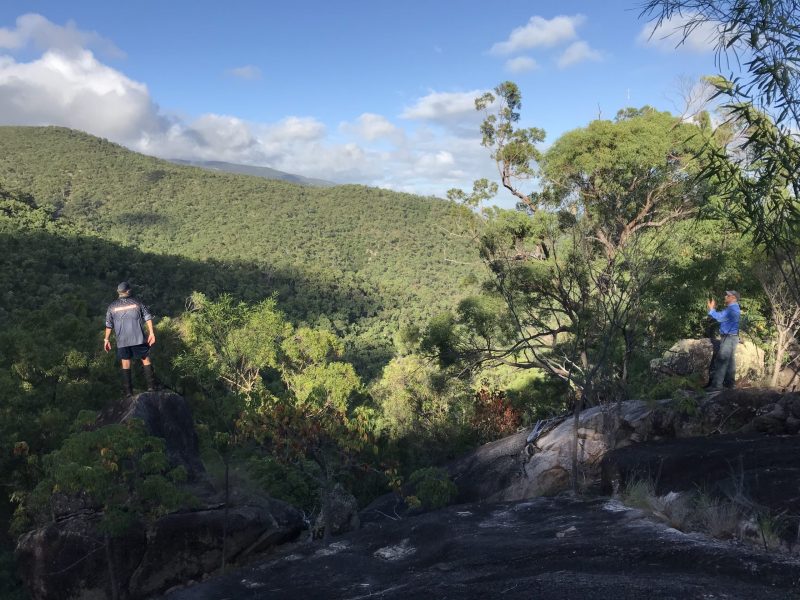
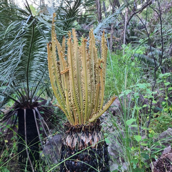
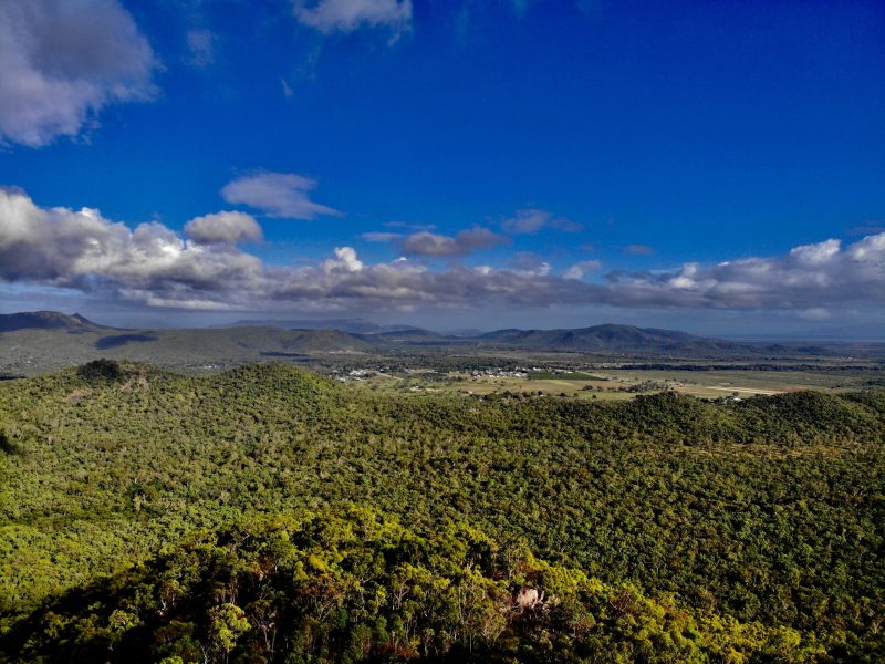
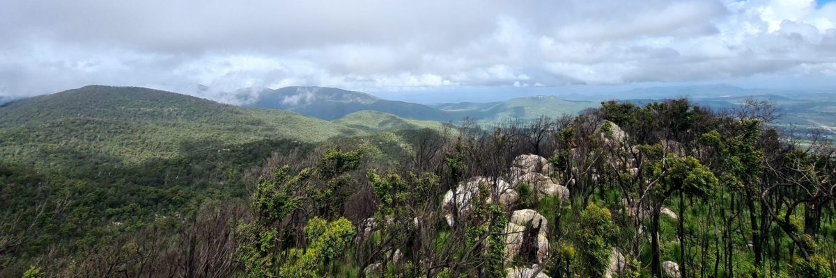
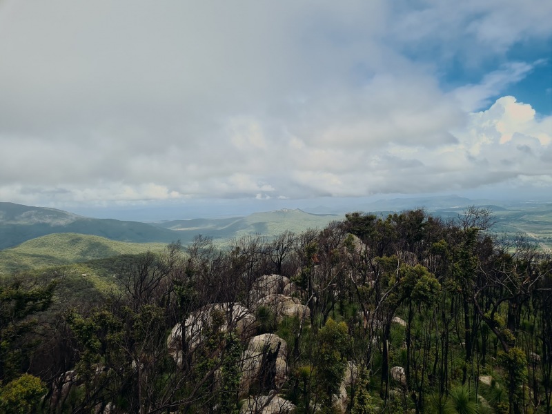
The summit is roughly 200 metres long and is sparsely vegetated. It is grass tree country, remarkably similar to terrain the adventurer witnesses close to the summits of Mount Cook (Magnetic Island) and Saddle Mountain. It was evident that the seasonal fires were fierce as they burnt out the summit. We climbed a couple of the impressive boulder formations and recorded an elevation of 639 metres at the highest point.
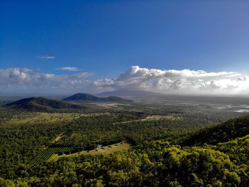
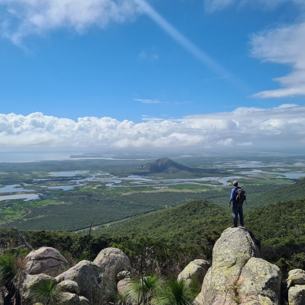
Let me assure you the views from the summit are priceless. 360-degree views of the surrounding countryside and the coastal plain were the highlight of the day. The Giru Sugar mill was visible to the south east, as was Saddle Mountain summit to the south. Bowling Green Bay and Cleveland Bay were entirely visible, as was Magnetic Island. The little known Mount Muntalunga (228m) and Mount Matthew (305m) near Nome in the Muntalunga Range were spotted, as was Woodstock Hill (234m).
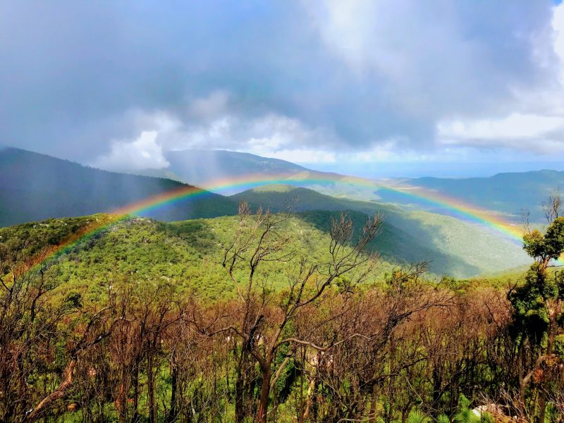
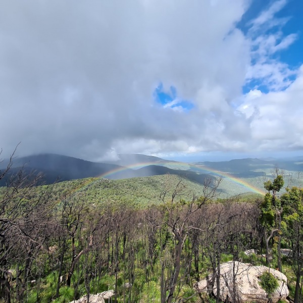
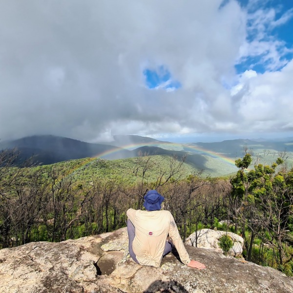
Storms were passing over Alligator creek from the south west and they provided us with something I haven’t witnessed before – a ‘full’ rainbow, visible for nearly half an hour in the valley between Mount Storth and the unnamed peaks to the south.
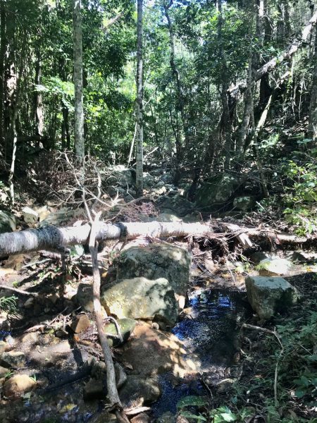
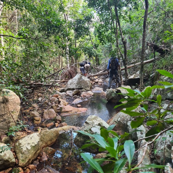
We hiked the entirety of the summit before making a steep descent into the creek line to the south of the summit which flows into Killymoon Creek.
Hiking this creek line, which appears to be unnamed, is far from a hiker friendly affair, but something we’re used to experiencing this deep into remote sections of our national parks. Surprisingly muddy, filled with barbed wire vine, gympie gympie, rubber vine, debris from previous flood events and all the usual nasties, our pace slowed significantly.
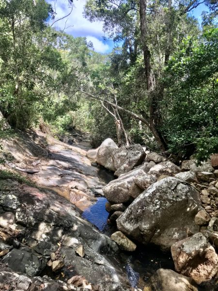


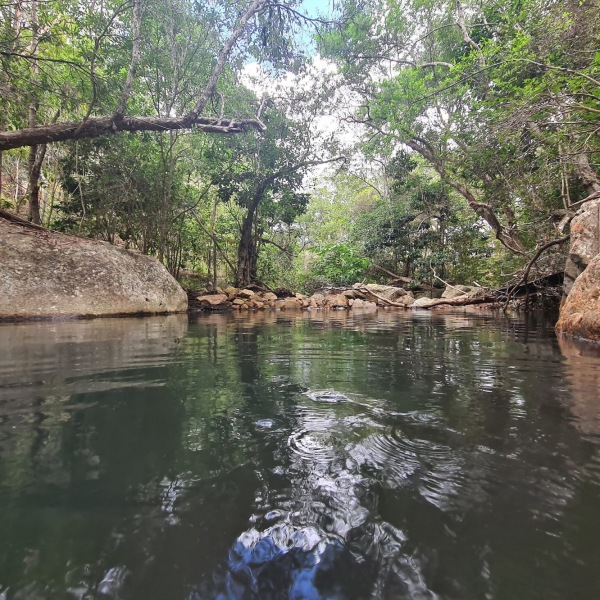


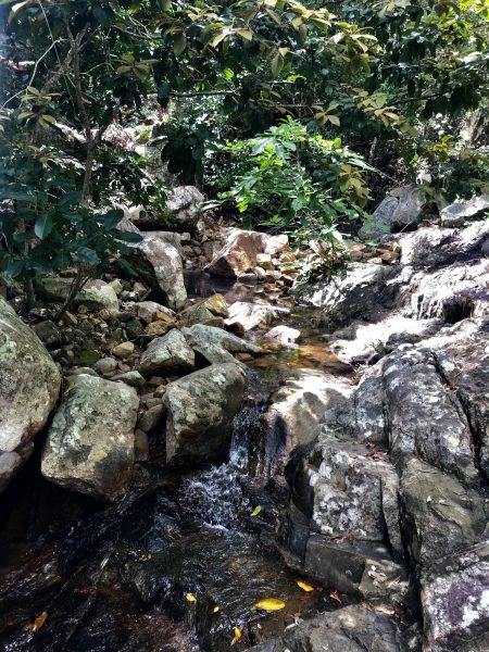
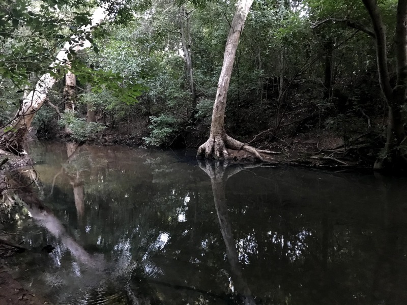
As we worked our way down to the junction with Killymoon, the creek widened and we explored some beautiful waterfalls, blue mineral coloured pools and we stopped for a swim where the watercourse flows under a massive cave formation.
As mid-afternoon approached and this adventure came to an end, we were quite impressed at the beauty that is Mount Storth, and all this marvel has to offer.


