Written by: Jim Fitzgerald
Many Peaks & Mount Marlow
We all have a serious personal responsibility to observe Covid19 protocols and these protocols need to be taken into account and thoroughly discussed before embarking on any activity.
______________________________________________________________________________________________________
HIKE: Mt Marlow Summit, Many Peaks Range. Town Common Conservation Park, Pallarenda Conservation Park.
DISTANCE: 14km
TIME: 3 to 4 hours
MAX ELEVATION: 300m
TRACK GRADING: 3. Formed track. May have some obstacles. May have short steep tracks and many steps. For experienced bush walkers.
______________________________________________________________________________________________________
Manbarra Land of the Wulgurukaba people.
Summary: Hike in from Pallarenda, Walter Nesbit Park (Loop road around this park).
Easy 2 hours to Mt Marlow Summit.
Continue on and return by the MTB track / fire trail. Easy 2 hours
Return from the summit the way you came.
Grade 3. Sometimes steep, loose rocks and a little scampering. Trail to summit is obvious at most times. Fitness & agility required.
Excellent views over the Town Common and back to Rowes Bay, Cutheringa, Townsville, Airport, Mt Stuart in the background and on. Excellent views of West Point on Yunbenun and all of the islands to the north.
If you are the first on the trail early in the morning, take a hiking pole as there could be lots of spider webs
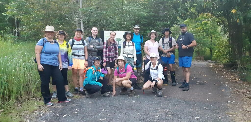
Park at the Walter Nesbit Park loop. Cross the road and go through the gate. Signage at this point.
Hike 10 / 15 minutes on fire trail and then ascend single track on the right. There is no signage at this point but the track is quite obvious. (If you go another 10 minutes & reach a big steel gate, you have gone too far).
Ascend single trail and hike for about 15 / 20 mins until you reach a large sloping slab rock for the first good viewing point. This is near Tegoora (Thunder) Rock. From here, the summit track veers right and into the range from just past the big slab rock.
Follow the track. Generally under cover of trees. There is a bit of a viewing point after about 15 minutes. There is another open viewing point another 30 minutes for some photos. Continue along the track for another 30 minutes to a small open rest area. Continue along for another 15 minutes to reach the summit point. Great views and photos in all directions.
If you have a reasonable pace this should take about 90 minutes from the start. If you are relaxed & check out all of the things along the track this will be about 2 hours from the start.
You can return the way you came or continue onwards.
About 30 / 40 minutes descending along a very obvious track to reach the MTB / fire trail.
Turn left
About 60 / 90 minutes to return along the MTB / fire trail to the Pallarenda starting point, depending on your pace.
Other Info
This is a very accessible 3 to 4 hour hike, with great views over our beautiful city and north along the coast and islands. Some parts require agility and sturdy footings. There is phone coverage.
The usual need for responsible hiking is required. Let someone know where you are. Send them a photo from the summit. Take drinking water, snacks (Picnic?) Sun and insect protection. There are loose rocks and leaves on some sections of the track so be sensible with footwear. Take a FA kit just in case this becomes an adventure (for the wrong reasons).
This is a great solo hike, close to Townsville. This is an excellent hike in the nights leading up to the full Moon. Although most of the track is under tree cover, the final section to the summit on a clear moonlight night is quite stimulating without a headlamp. The Town Common, Townsville and surrounds always look great – day or night.
The flat track below the range is a section of the Under The Radar Mountain Bike Track. Expect other traffic at any hour.
Post some photos if you do this wonderful local hike.
Please take:
3l drinking water & drink at least 2l
Hydrolyte
Snacks
Sun Protection
Insect Protection
Sturdy Footwear
FA / Snake Bight kit
Camera
Phone
Please bear in mind your personal responsibility for any activity. Advice & information provided here is done so expecting that people will prepare adequately and behave sensibly when hiking and visiting bush locations.
We take no responsibility for any mishap, accident, injury or trauma that may occur from being on any bush walk or hike. It’s up to each individual to ensure that they are up to the requirements of any described activity. You must decide if you are capable of any activity before embarking. If you attempt any activity it will solely be at your own risk.
Have an emergency plan. Let someone know what you are doing & where you are going. Arrange to check in with them once you have completed the activity and discuss what they should do if you don’t check in by an arranged time.
Plan your hike & hike your plan.