
Written by Damien Burrows
At 1218m elevation, Mt Elliot is, according to the Bonzle website, the 19th highest mtn in Qld. Its certainly the highest in the Townsville region and is easily visible from many locations around the city. Not being part of a mountain range, Mt Elliot stands out in its isolation, exerting an irresistible draw on adventurers and peak baggers. Many people dream of summiting this local icon, and although the National Park is on our city’s doorstep, very few people have summited the mountain. Its long, steep and after the falls, there is no defined trail to the summit – you have to make your own way.
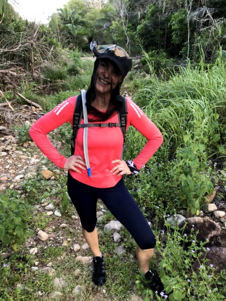
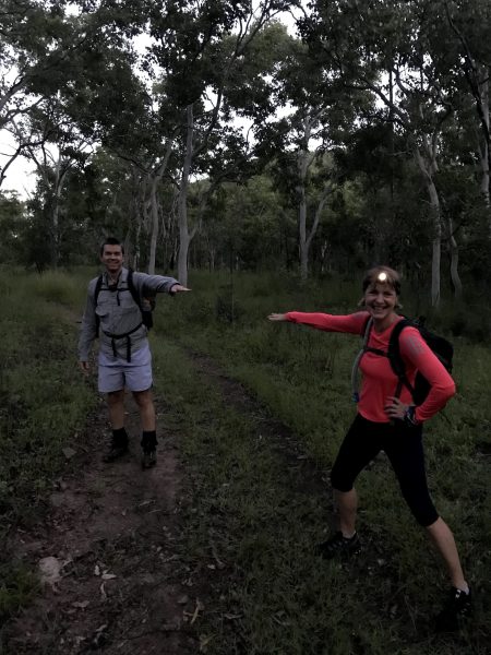
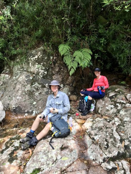
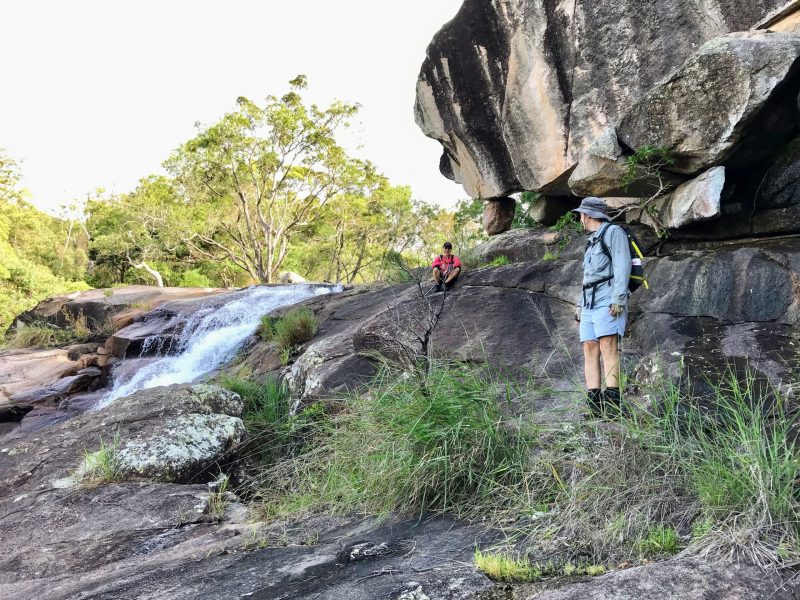
Coronavirus had ended my travel plans and after a Friday afternoon PM from Michael who also had the same issue, I didn’t need to give it any thought before instantly agreeing to this last-minute adventure (these are often the best ones). Debbie must have felt the same and about 14hrs later, the three of us started from the Alligator Ck campground at 0540hrs, walking by headlamps in the cool of the morning. Despite de-shoeing at two creek crossings, the wet grass on the powerline track seeped through my boots, thus beginning 13 hours of sodden feet, later begetting blisters on both little toes. We practised our corona-distancing etiquette as we walked (easier said than maintained).
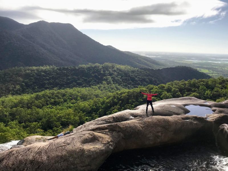
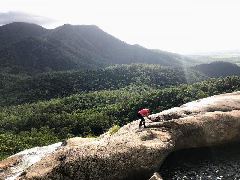
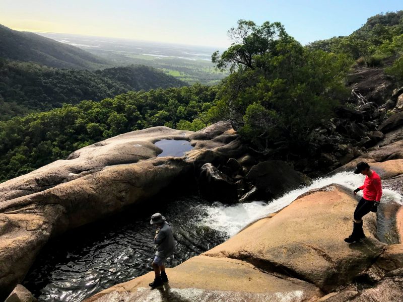
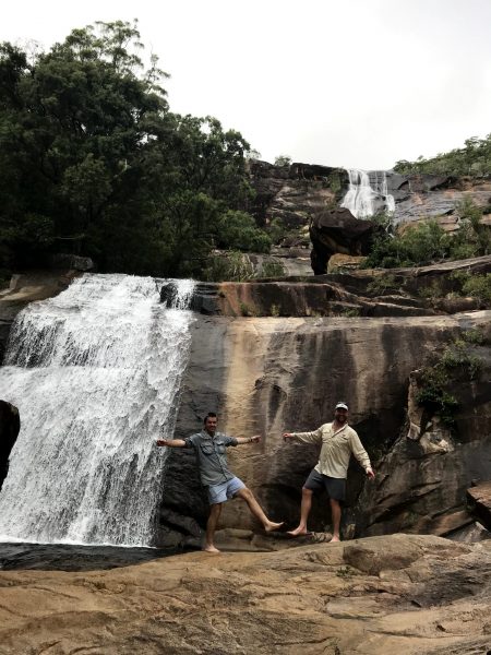
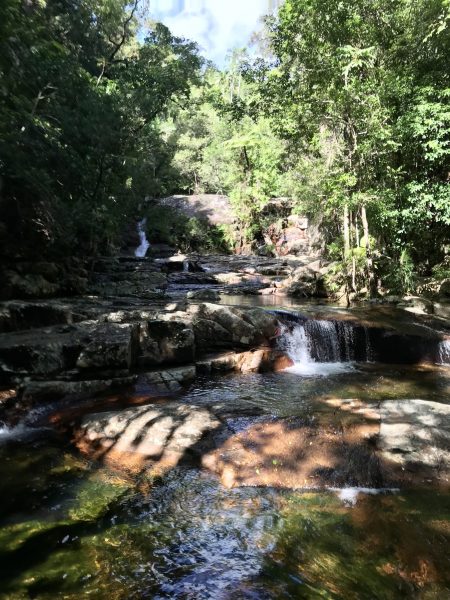
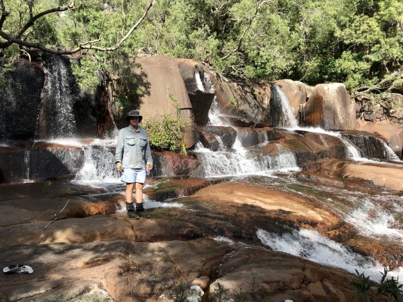
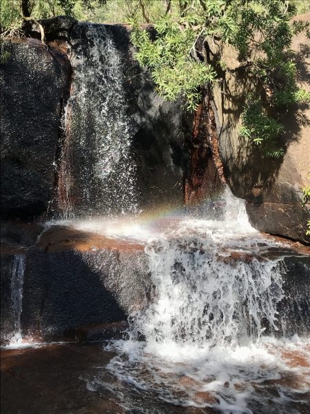
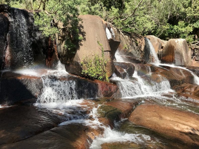
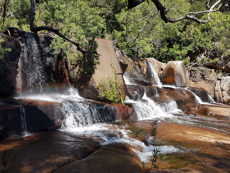
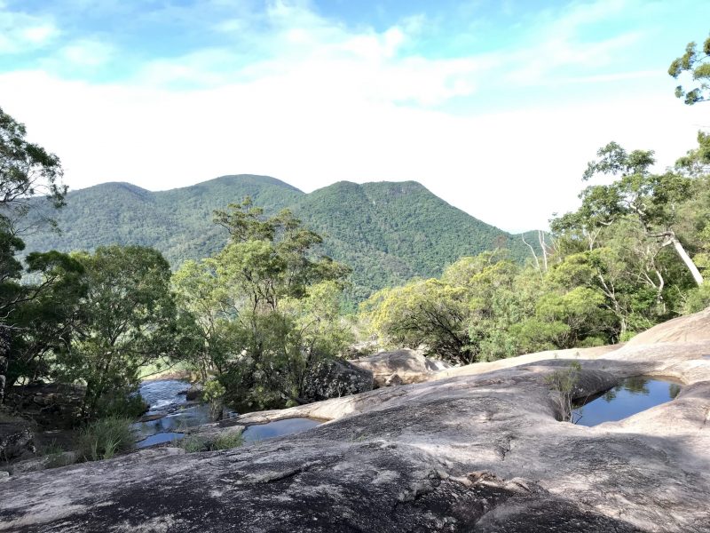
Michael led with a cracking pace, and we arrived at the magnificent Alligator Ck Falls in 2hrs. We crossed the creek and after only a short break by the water, began ascending the falls, arriving at the infinity pool after 30 minutes of very steep climbing. Some might consider this to be the ‘top of the falls’ but its only about half way up the full series of rock face falls that are so readily visible on Google Earth. Thankfully the rock faces in the upper falls area were mostly dry. In the wet, they would be incredibly slippery and dangerous (I know of two people who have slipped and fallen here, both requiring helicopter retrievals for badly broken legs). Water was still seeping across the rock faces in various places through cracks and from surrounding vegetation, leaving a slippery slime on the rock faces. A further 20mins of ascending the steep rock faces above the infinity pool was a tremendous workout for our calves and hot work in general, fully exposed to the morning sun.

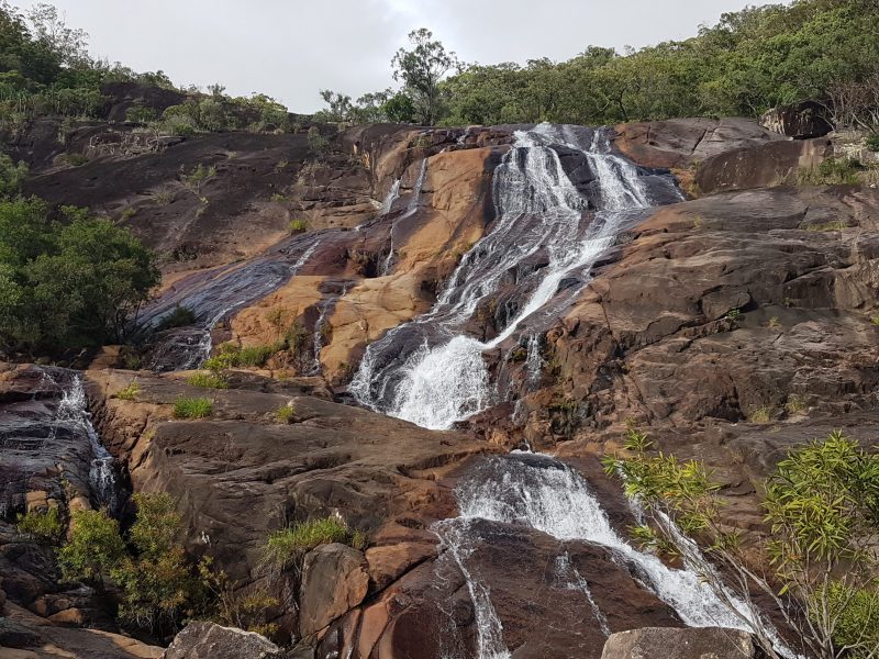


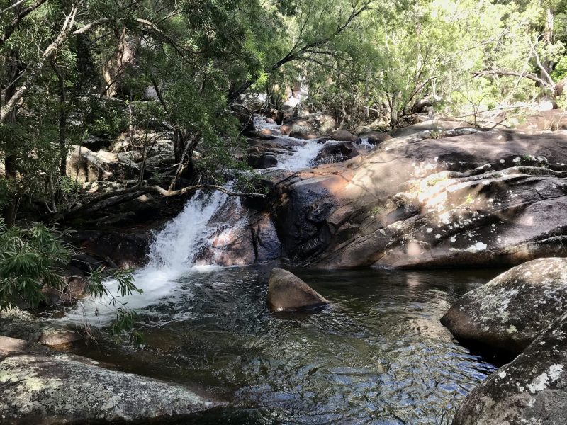
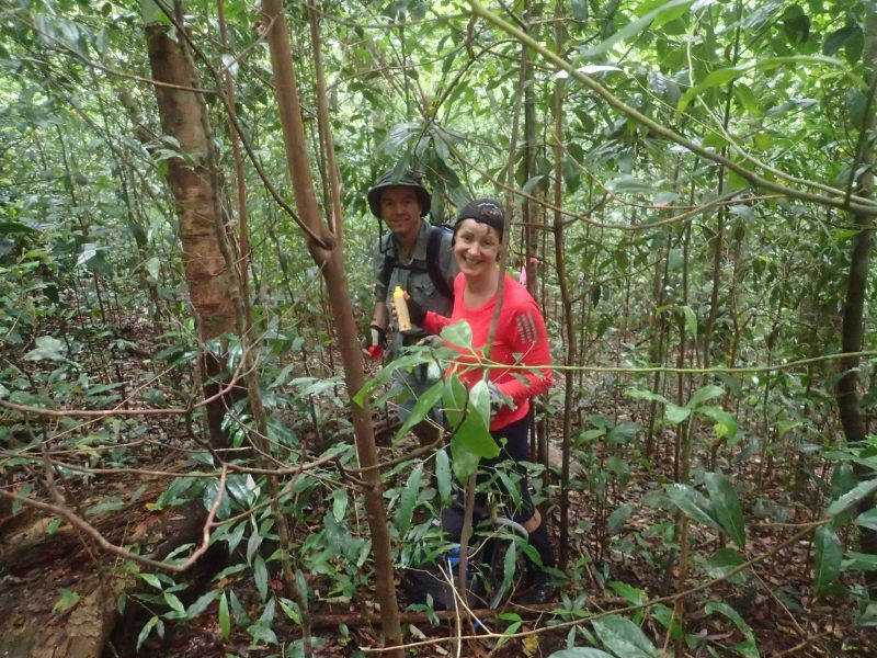
After finally clearing the steeply-sloping rockfaces, we started ascended the more shaded creek itself, with one magnificent waterfall/slides after another. With the summit as our objective, we couldn’t linger, but one could easily spend all day exploring just this section of the creek. After 90mins following the shady creekline (4.5hrs since we started at the car park), we had a food break at the point where we would leave the creek and head directly for the summit, following a virtual trail created by Stephen Donelsen in 2006. (note that you can also achieve the summit by following the creek but that is probably slower). We began the climb at 1015hrs and for the next 3 quad-busting hrs, ascended steeply under a shady rainforest canopy. Fortunately, the understory was relatively clear all the way to the summit, and did not significantly detain our progress. That said, both Michael and I arrived at the summit with bloodied legs and he with a torn shirt (on its maiden hike no less). Whilst ascending, Michael encouraged us to maintain the pace by using what became the oft-repeated catch phrase of the day – ‘chop chop’. From leaving the creek line to the summit, we gained 570m of elevation covering 2.5km of distance – that’s a 23% gradient (Castle Hill road by comparison is half the height with only a 9% gradient).
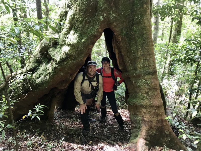


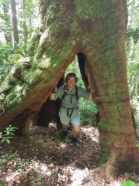

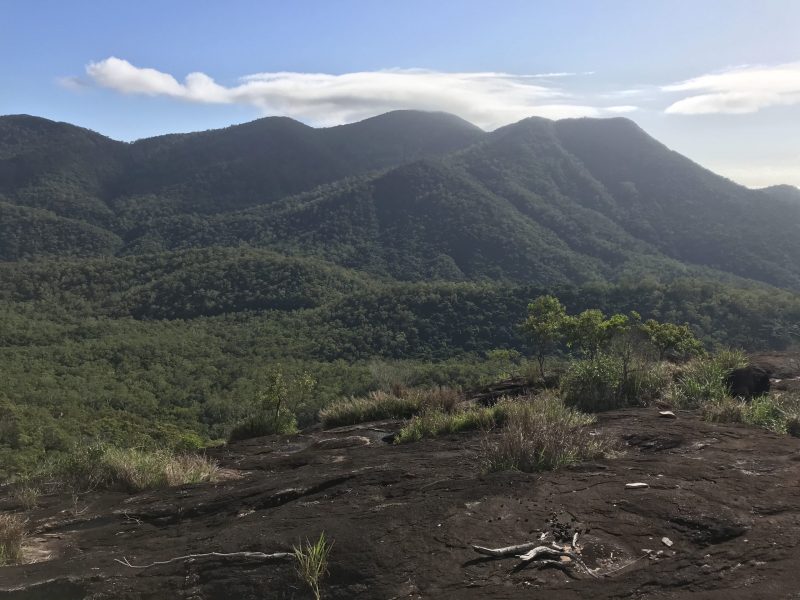
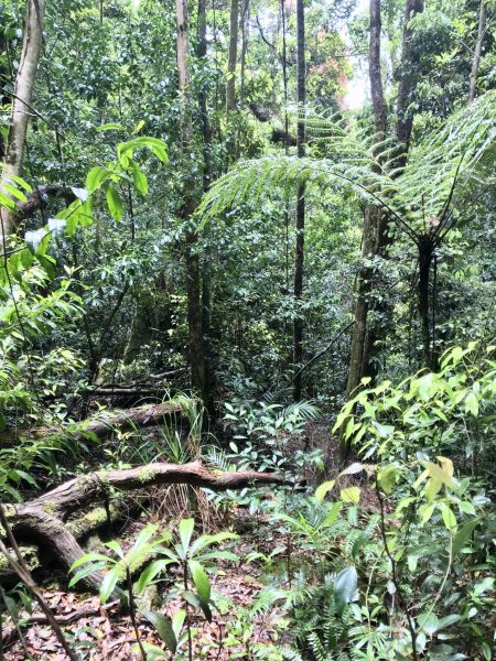
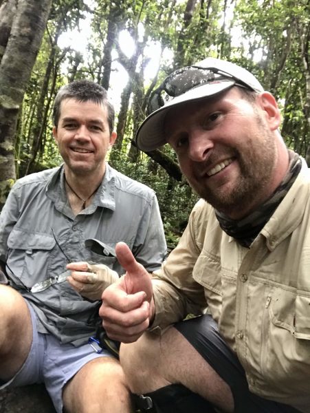
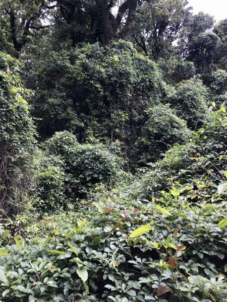
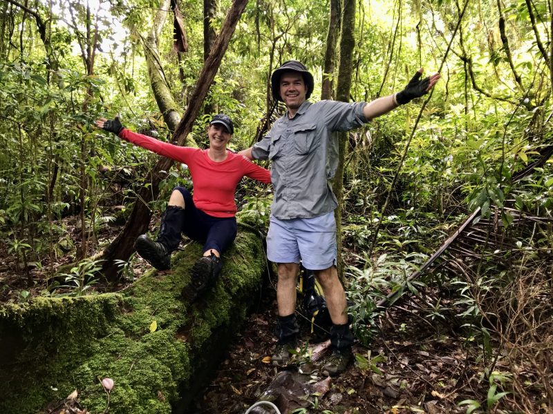
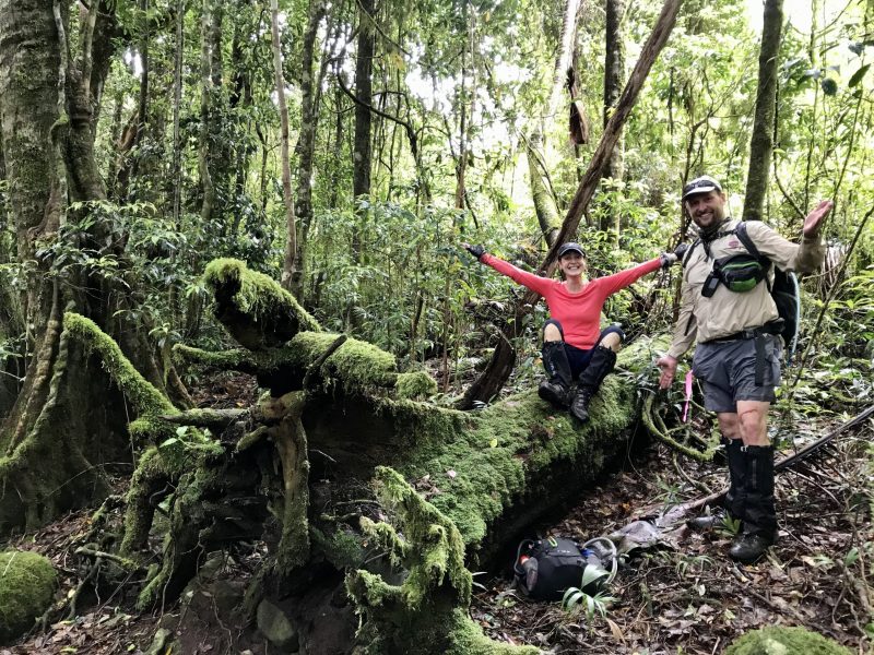
The summit is a very long and flat ridge, with no distinct peak. It took a little while exploring amongst the moss-covered trees there to satisfy ourselves that there was no greater elevation to be gained and there we rested for lunch, photos, and the mandatory TSV Hike and Explore video. Debbie even enjoyed a white wine – no mountain is too big or steep to leave that behind. Being covered in rainforest, there is no view to be had from the summit, or anywhere along the ascent from the creek, its just the beauty of the rainforest and the soul-lifting sense of satisfaction from visiting such a special place. A cool, moist mountain breeze over lunch recharged us, even as the mossies clouded around (there’s no escape even up there).
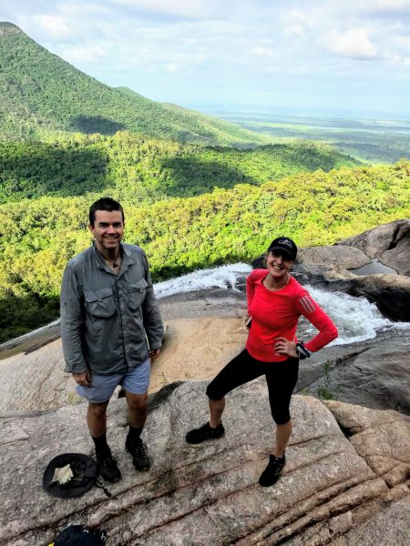
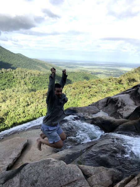
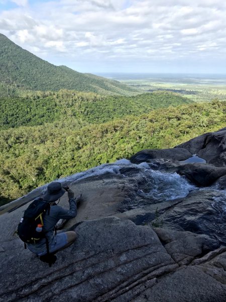
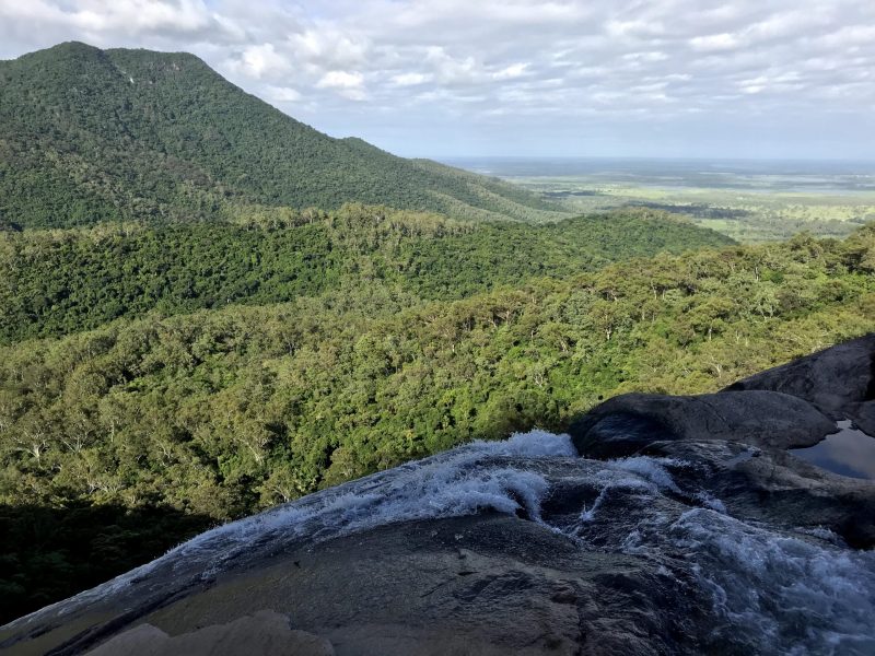
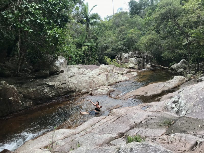

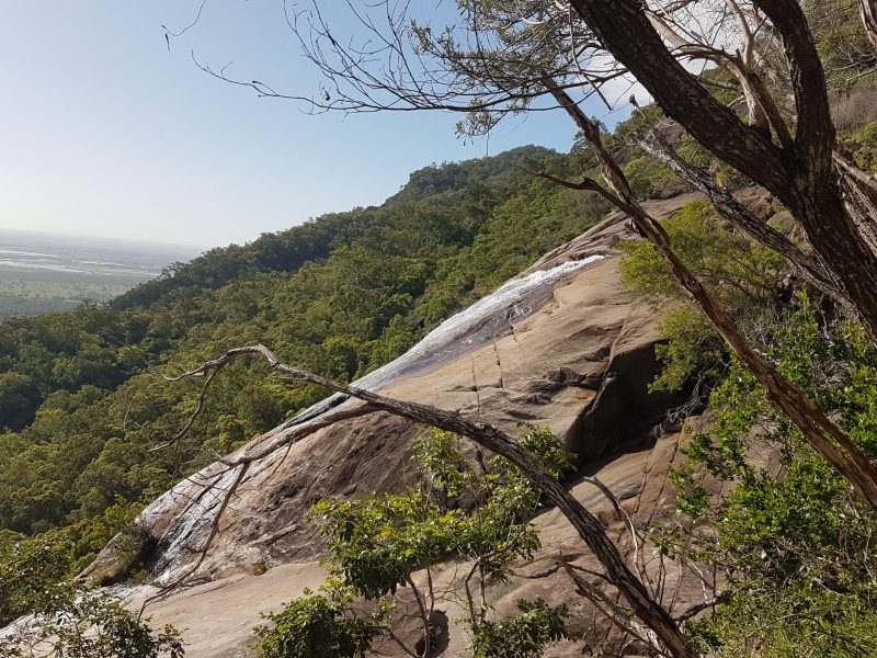
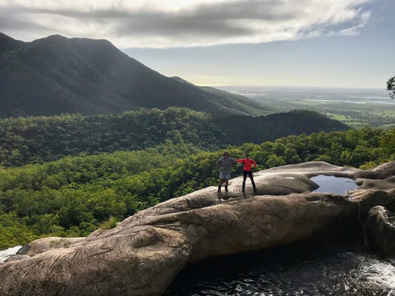
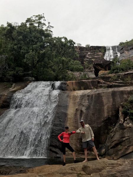
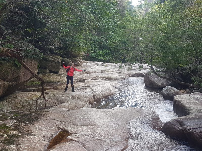
In contrast to the slow ascent, we descended back to the creek in 55 laughter-filled mins, enjoying a cold swim, euphoric at what we had achieved and the beauty of the mountain. However, rain clouds were starting to gather and we needed to get down past the rock faces at the falls before it rained, so we made haste. The clouds had retreated by the time we arrived at the top of the falls, allowing us time to enjoy the cool of the late afternoon, have a swim, take in the views of the cane farms and wetlands across the Haughton floodplain, make more videos and reflect joyously on our achievement. Even though we still had another 2.5-3hrs of walking to complete the hike, we knew that nothing could take away what we had achieved and that feeling kept us skipping on the long twilight march back to our cars. Just before dusk, we came across 3 horses on the track, who watched us closely before slowly sauntering off.
Upon arrival at the carpark, at 1915hrs, after just over 13.5hrs of hiking, Michael’s Garmin had registered 31.7km but mine only 29.7km, so, just to be sure, I made Michael and Debbie join me in a 300m circuit of the carpark in the dark till my Garmin beeped its 30th 1km signal of the day.
Stats – max elevation 1218m, distance >30km, total walk time >13.5hrs, swims – 2, brand-new torn shirts – 1 (oh Michael!!), cut legs – 2
Wildlife tally – three snakes, three horses and one very angry pig near the base of the falls that let us know its displeasure and had our heartbeats racing.


